

Route 66 Turns 100: The Mother Road, the Roadside, and the Signs Along the Way
On November 11, 2026, U.S. Route 66 turns 100. It was never the longest highway or the fastest one, but it may be the most loved. Songs, movies, family vacations and countless roadside stops have made it the road almost everyone has heard of, even people who have never driven a mile of it. Here is a short, plain history of how it started, why it mattered, and why the signs along it still catch our eye.
A road stitched together in 1926
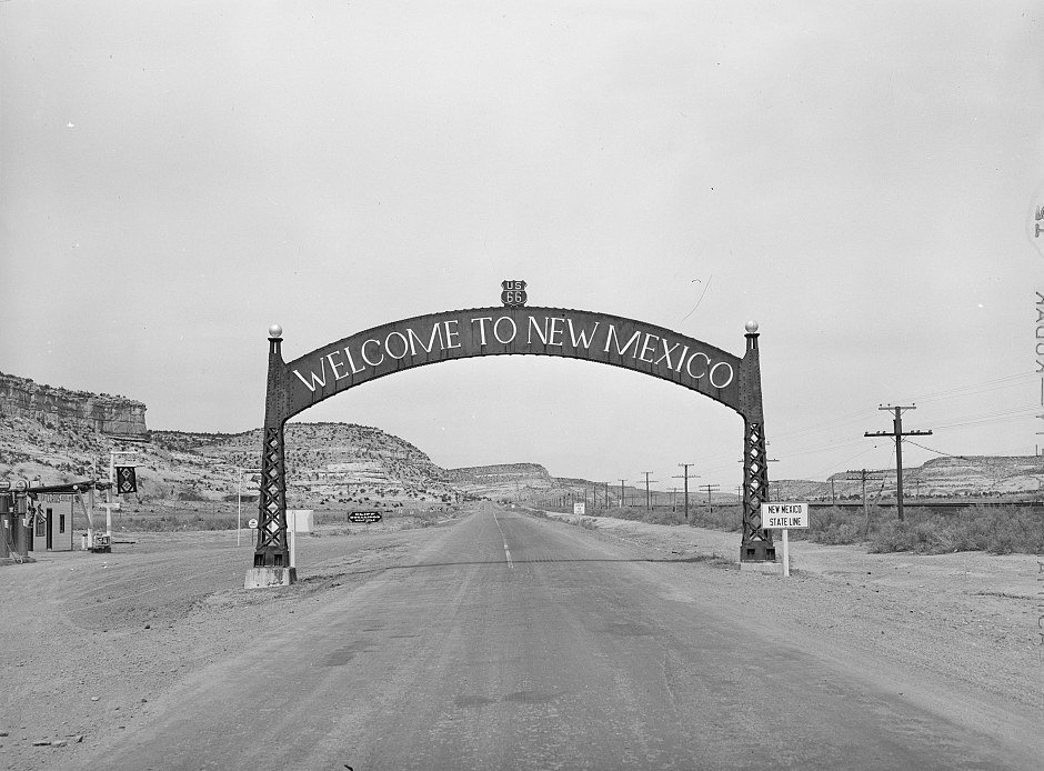
Route 66 was created on November 11, 1926, when the new U.S. highway system gave numbers to roads that already existed. Nobody built it from scratch. Officials joined local, state and national roads into one route of about 2,400 miles, running from Chicago through St. Louis to Los Angeles and crossing eight states: Illinois, Missouri, Kansas, Oklahoma, Texas, New Mexico, Arizona and California.
Much of it was gravel or dirt at first. The whole road was not paved from end to end until 1938. That did not stop the U.S. 66 Highway Association from advertising it as “the shortest, best and most scenic route” from Chicago to Los Angeles.
Why they called it the Mother Road
The nickname comes from author John Steinbeck, who called Route 66 the “Mother Road” in his 1939 novel The Grapes of Wrath. The book follows a family leaving Dust Bowl Oklahoma for California, and the 1940 movie made the story even more famous. The National Park Service estimates that about 210,000 people moved to California in those years, and many of them made the trip on Route 66.
They needed places to stop, and local people filled the gap. Gas stations, cafes, tourist camps and small motels sprang up along the road. Many were run by families, and for a few decades they were the business of Route 66.
War, boom years and a song
During World War II, the highway carried military convoys and supplies across the country. After the war, more people than ever had cars. The National Park Service reports that registered cars in the United States grew from about 25.8 million at the end of the war to 52.1 million in 1955. With more cars and more leisure time, families headed west on Route 66 to the Grand Canyon, Disneyland and the beaches of California.
In 1946, songwriter Bobby Troup wrote “(Get Your Kicks on) Route 66,” and the King Cole Trio recorded it that same year. A television series called Route 66 followed in the 1960s. By then the road was part of American pop culture.
The roadside fights for your attention
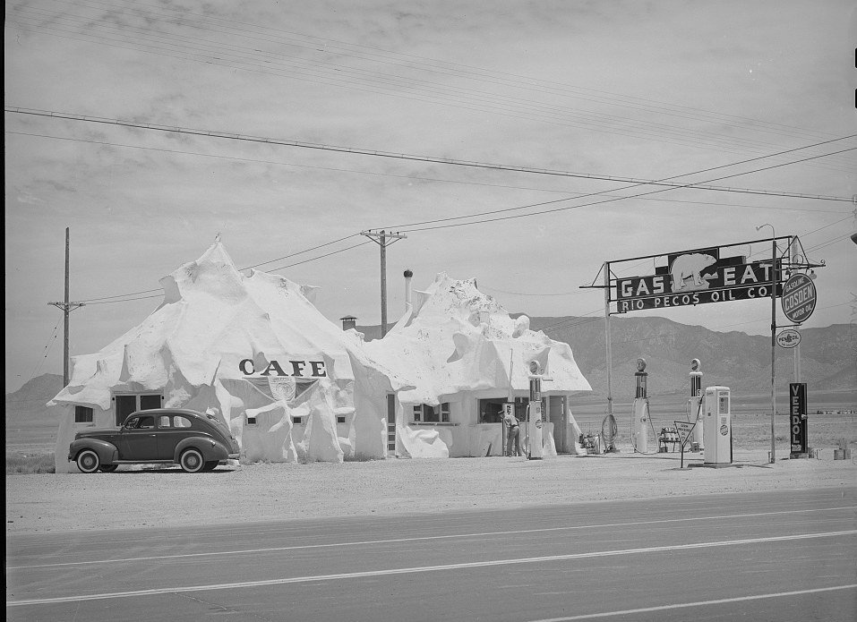
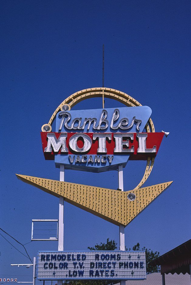
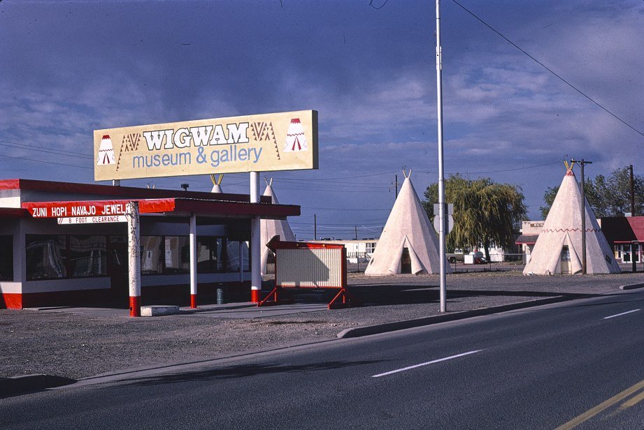
Every business on the road had the same problem. A driver going 40 or 50 miles an hour had a few seconds to notice a place. So motels, cafes and stations used big shapes, bright colors and tall signs to flag people down. The Rambler Motel sign above is a good example, and so is the Wigwam Village Motel in Holbrook, Arizona, shown later in this article. Both were hard to miss.
Oil companies competed just as hard. According to the American Oil & Gas Historical Society, Phillips Petroleum’s story is that its new gasoline was named “Phillips 66” because it had carried company officials down U.S. Highway 66 at 66 miles per hour. The first Phillips 66 station opened in Wichita, Kansas, in 1927.
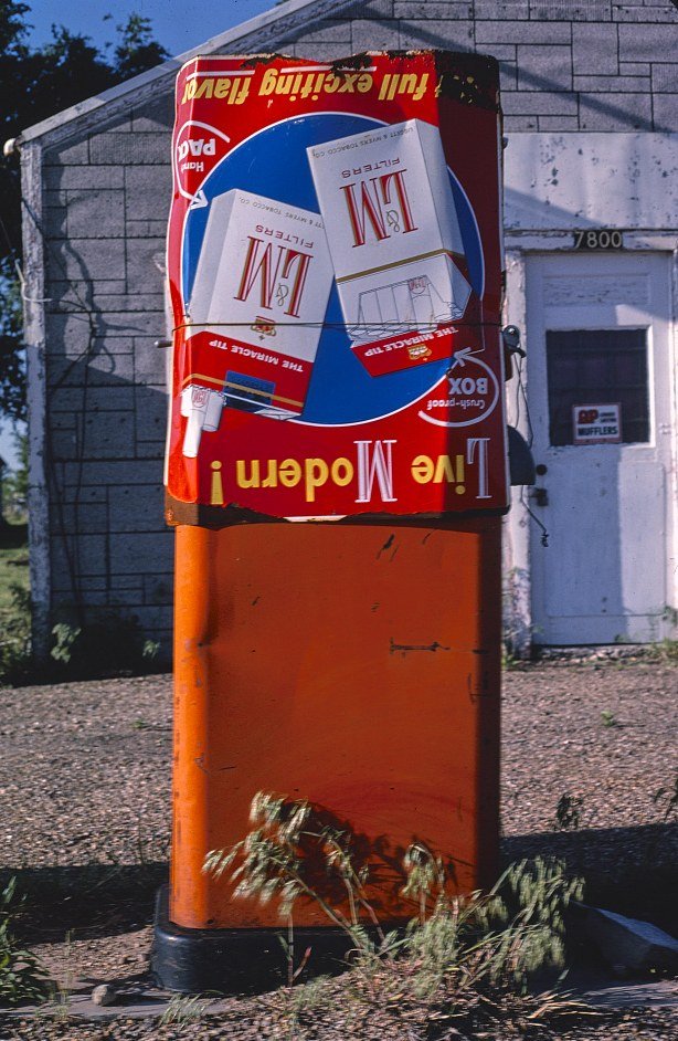
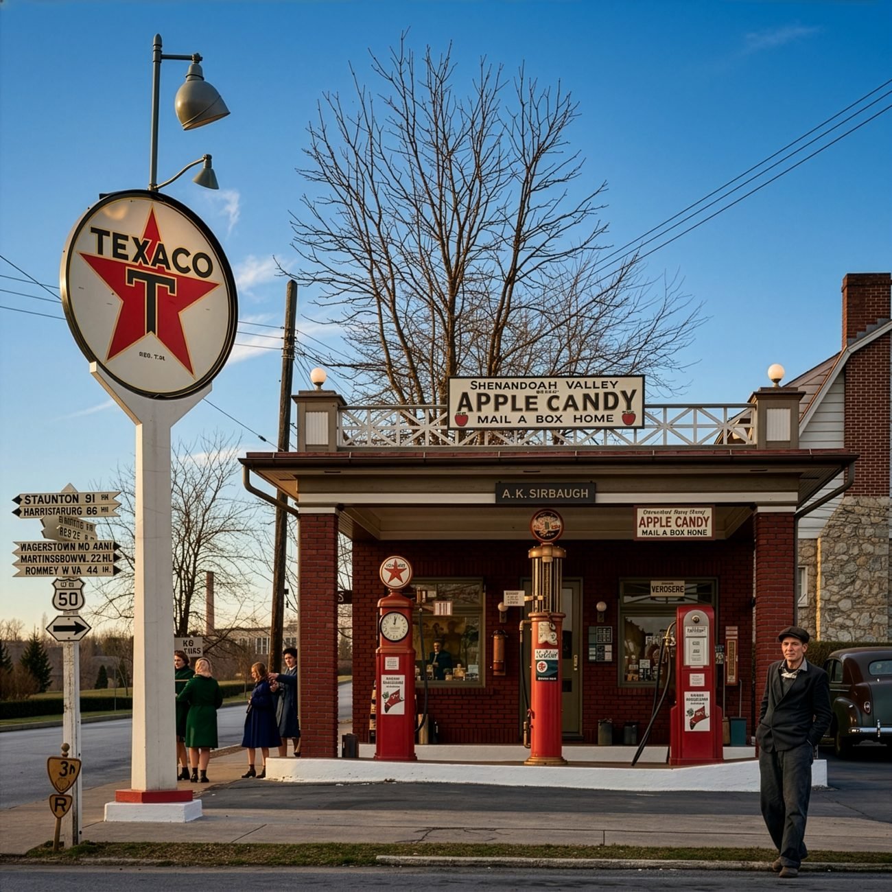
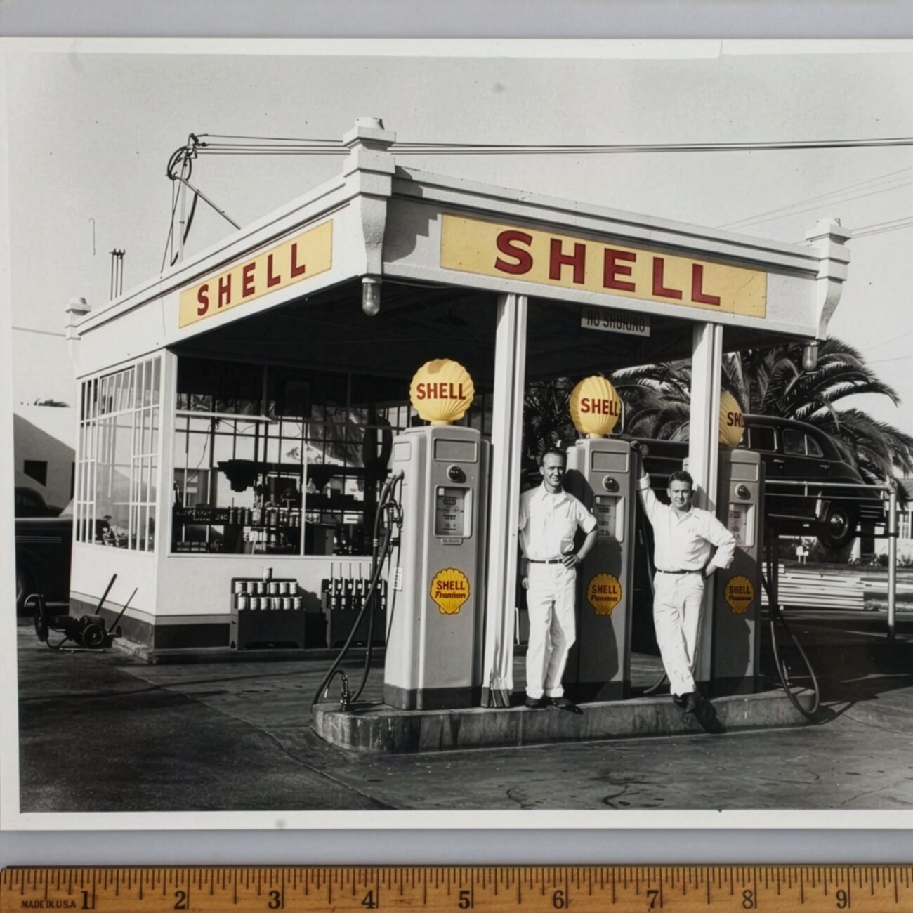
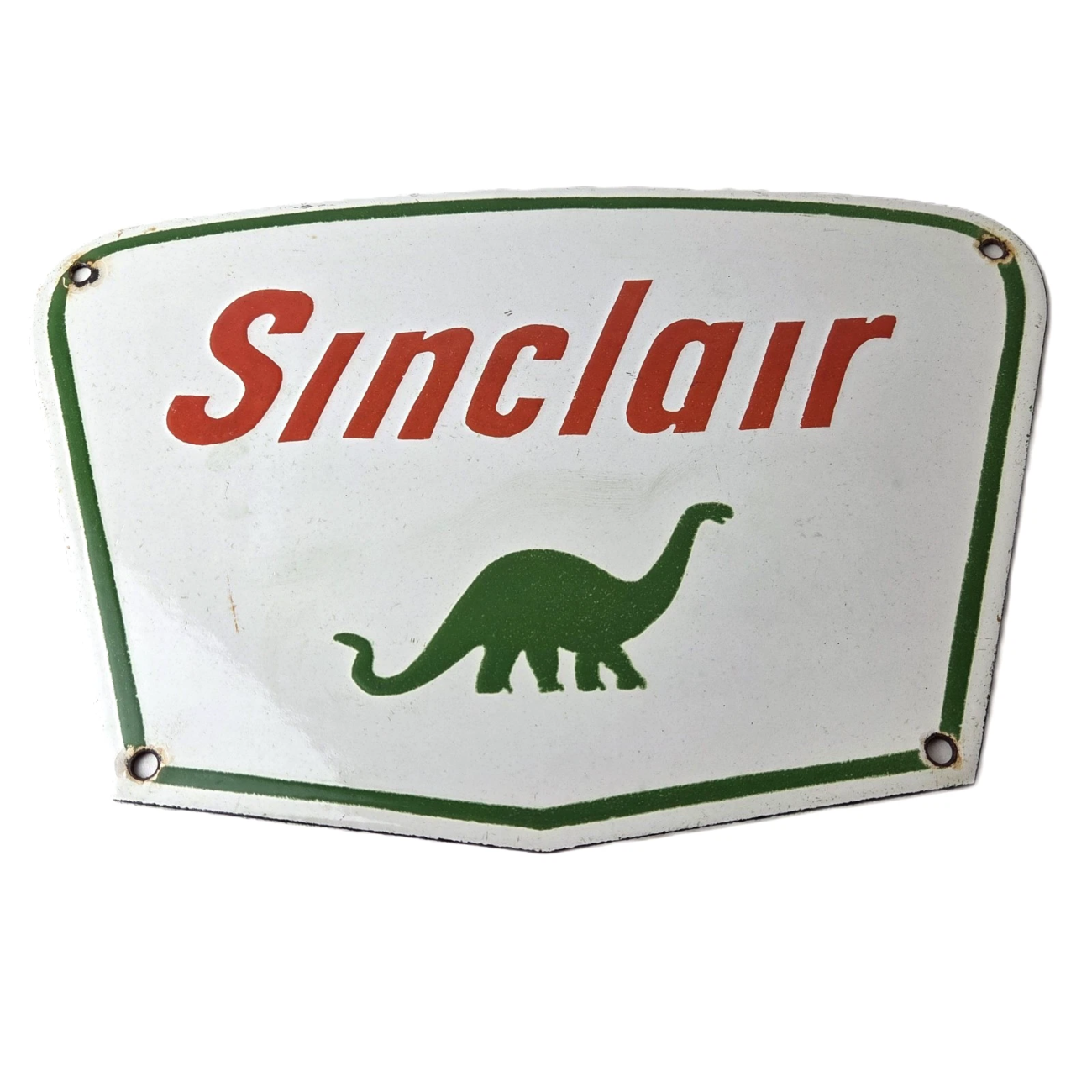
Gas and oil signs from this period were often real porcelain (fired glass enamel on steel), because that finish stands up well to sun, rain and wind. That is one reason you can still find old examples with strong color today.
Bypassed by the interstates
In 1956, Congress passed the law that created the interstate highway system, backed by President Dwight Eisenhower. Over the next three decades, interstates replaced Route 66 one section at a time, and the new roads let drivers skip the small towns completely. Many cafes and motels lost much of their traffic.
The last stretch of Route 66 to be bypassed was at Williams, Arizona, on October 13, 1984. Bobby Troup performed his song there for the occasion. In 1985, Route 66 was officially decommissioned as a U.S. highway.
Still on the map at 100
The road did not disappear. In 1999, Congress created the Route 66 Corridor Preservation Program, run by the National Park Service, to help protect the road’s historic places. According to the U.S. Postal Service, which issued Route 66 stamps in 2026, about 85 percent of the original route is still drivable, and around 250 buildings, bridges, road alignments and sites along it are listed on the National Register of Historic Places.
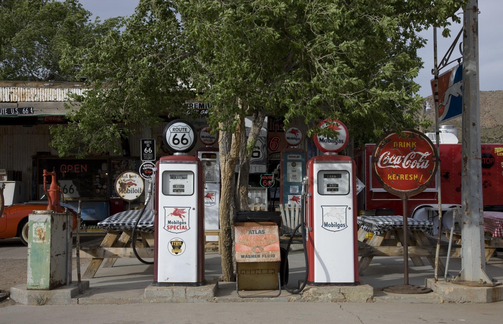
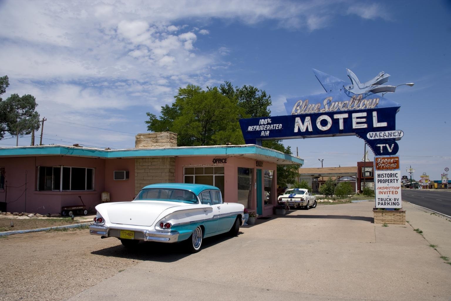
Plenty of old roadside landmarks survive. The Blue Swallow Motel in Tucumcari, New Mexico, pictured below in 2006, was built in 1939, according to the Library of Congress record. The Hackberry General Store in Arizona, shown earlier with its old pumps and signs out front, was photographed in 2009.
Bring a piece of the road home
If Route 66 has you thinking about a garage wall, a man cave, a cabin or a den, we carry highway and travel signs for the job. Every sign in our shop is real porcelain (fired glass enamel on steel). Shipping is a flat $10 per order, and every order has 30-Day Returns.
Also see: Porcelain Travel Signs
Want help placing a sign once it arrives? Read our guide to how to display and hang vintage porcelain signs, see man cave and garage decor ideas, or learn how porcelain enamel signs are made and why they last.
Happy 100th, Mother Road.
Sources
- National Park Service, Route 66: 1926–1945
- National Park Service, Route 66 Overview
- National Park Service, Route 66 Corridor Preservation Program
- U.S. Postal Service, Route 66 stamps (May 2026)
- Federal Highway Administration, Route 66 Fact Sheet
- American Oil & Gas Historical Society, This Week in Petroleum History (Phillips 66, Nov. 19, 1927)
- Route 66 News, Route 66 in Williams was bypassed 40 years ago
- Library of Congress records for each photo (see captions)


Add a review
Your email address will not be published. Required fields are marked *